Print
Print
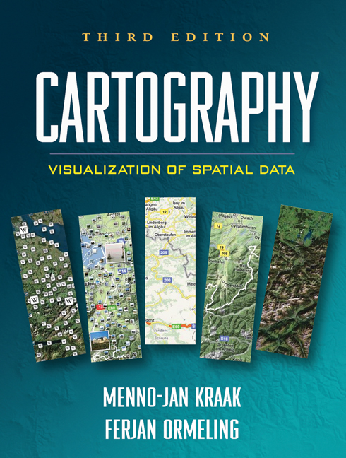
Cartography
Third Edition
Visualization of Spatial Data
Menno-Jan Kraak and Ferjan Ormeling
A Paperback Originale-bookprint + e-book
A Paperback Original
orderNovember 29, 2010
ISBN 9781609181932
Price: $75.00 199 Pages
Size: 8" x 10½"
Copublication information: Available from Guilford in the US, Canada, Mexico, the Philippines, and US territories. For delivery elsewhere, contact Taylor & Francis Group.
“The authors have been careful to present to the reader not only a basic understanding of what cartography is but how geospatial data and maps are so integral to many of the disciplines that utilize specific technologies, such as GIS and the WWW, to communicate information. As with the first edition, the third edition continues the tradition of being graphic rich. Most chapters include as many pages of graphics as they do text, which is a great benefit to the novice reader. A noted improvement to this edition is the inclusion of additional color images....The images are very clear and the color reproduction looks true....The greatest strength of this book is the discussions on mapping applications....The authors have smartly included a short section on map design for the WWW—the mainstay of change to the cartographic community.”

—Applied Spatial Analysis and Policy
“Kraak and Ormeling's text represents the best integration of geographic information science and cartography to date. It tightly integrates geospatial technologies and cartography into a comprehensive view of current practice. The book's coverage of theoretical and technical aspects of cartography would be useful for introductory and intermediate courses that utilize geographic information systems for lab exercises.”
—Charles P. Rader, Department of Geography and Mapping Sciences, University of Wisconsin-River Falls
“This text presents technology and mapping concepts as one integral whole to help students navigate the complex world of contemporary multimedia. Kraak and Ormeling are experienced practitioners who go beyond cartographic basics to explain the fundamentals of spatial data serving online, spatial analysis, and animation. This is an excellent text for an upper-level class in geovisualization or multimedia.”
—Margaret W. Pearce, Department of Geography, University of Kansas
“This up-to-date book reflects the latest trends in dynamic mapping and geovisualization. Kraak and Ormeling present a thorough, current discussion of principles and best practices for visualization of spatial data. They explain cartographic theory and provide examples of relevant applications. This is a valuable resource for students new to using GIS for spatial data visualization, as well as for more advanced cartographers interested in furthering their knowledge of principles of dynamic geovisualization design. For the practitioner, the book also includes valuable information on copyright issues, cartographic liability, and methods for testing usability of map designs.”
—Sarah Battersby, Department of Geography, University of South Carolina
“The third edition of this popular text adds exciting new material, reflecting significant recent changes in cartography. These include the rapid growth of personal location-based services, the launch of Google Earth and Google Maps and their competitors, and the advances that have been made in the science of geovisualization. Maps are now a standard part of everyone's digital world and essential accessories to modern life. This book will be invaluable as a classroom text and professional resource.”
—Michael F. Goodchild, Department of Geography, University of California, Santa Barbara