Print
Print
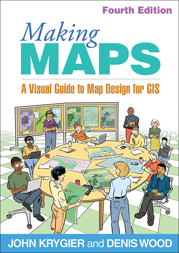
Making Maps
Fourth Edition
A Visual Guide to Map Design for GIS
John Krygier and Denis Wood
A Paperback Originale-bookprint + e-book
A Paperback Original
orderNovember 20, 2024
ISBN 9781462556069
Price: $65.00 306 Pages
Size: 7" x 10"
Prized for its creative design, original art, and playful, accessible writing, Making Maps is now in a thoroughly updated fourth edition. The text is restructured to emphasize the importance of the map making process. All components of map making are covered and are brought to life in the expanded graphic novella threaded through the text. Updates include new coverage of data aggregation, artificial intelligence, feminist and Indigenous perspectives, map making workflow, and more. Design choices are emphasized and linked to the reasons for making a map. Featuring more than 80 color illustrations and a unique layout, the book includes an annotated map exemplar used throughout the text, extensive map examples, and a companion website.
New to This Edition
New to This Edition
- New or expanded topics: graduated symbol maps, multivariate choropleth maps, visual storytelling, maps and gerrymandering, artificial intelligence, workflow, and more.
- Integration of practical ideas from Indigenous and feminist perspectives.
- Coverage of color and type is shifted earlier in the book, and the chapters on map symbolization and abstraction now conclude the book, with many compelling new maps.